Log in
All resources
Create a design
52,119 Free Images of Old Celestial Maps
maps made in the 17th century
atlantis magni tomus tertius (biblioteca comunale di trento)
maps by nicolaes visscher i
maps in the library of congress
maps with cartouches
atlas van der hagen
maps by pieter schenk (i)
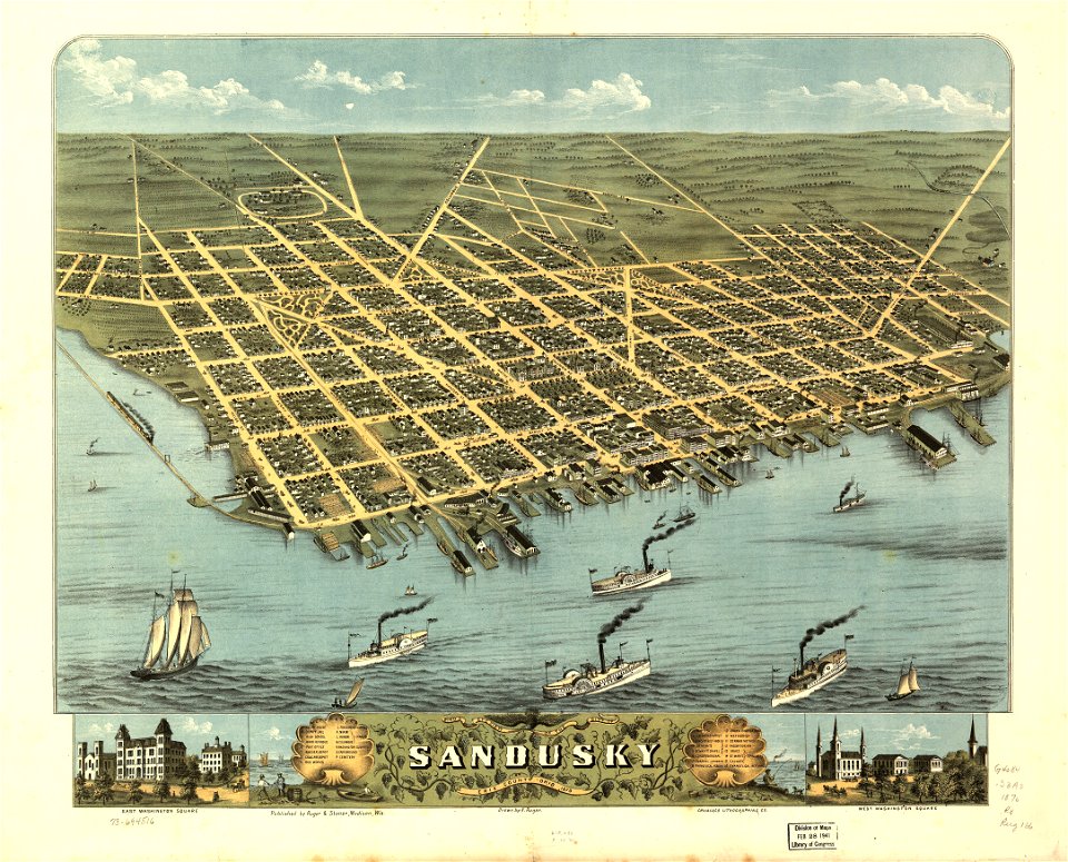
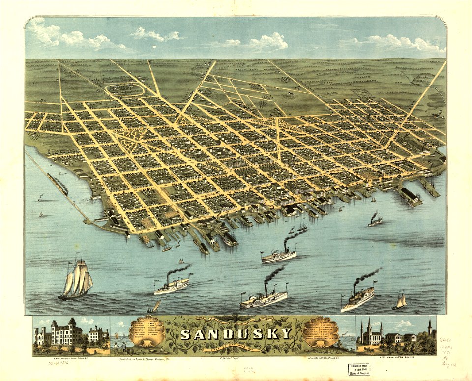
albert ruger
fonds ancely - bibliothèque municipale de toulouse - maps
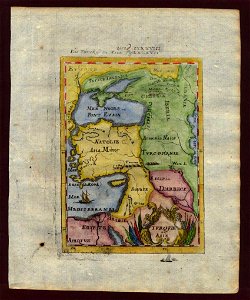
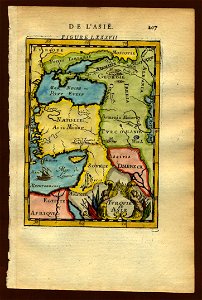
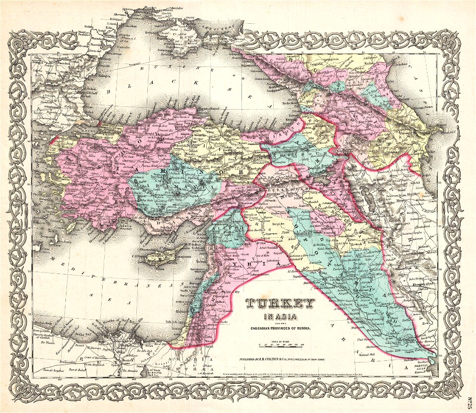
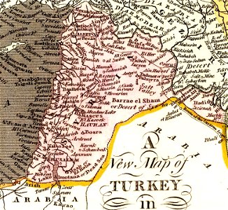
old maps of the middle east
atlantis magni tomus secundus (biblioteca comunale di trento)
maps made in the 17th century
images from bristol past and present (1882)
old maps of bristol
atlantis magni tomus tertius (biblioteca comunale di trento)
maps made in the 17th century
atlantis magni tomus tertius (biblioteca comunale di trento)
maps made in the 17th century
maps by matthäus seutter
tobias conrad lotter
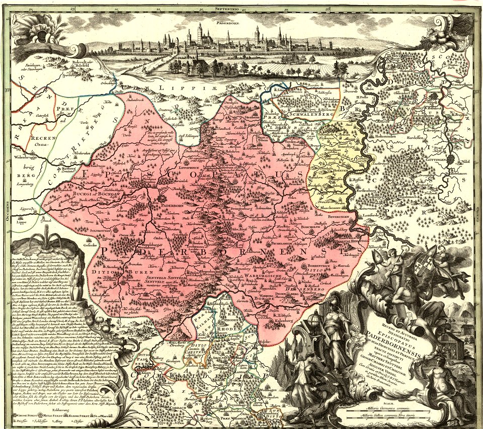
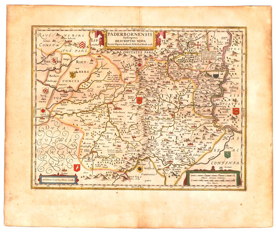
old maps of prince-bishopric of paderborn
atlas novus (blaeu)
atlantis magni tomus tertius (biblioteca comunale di trento)
maps made in the 17th century
university of toronto wenceslas hollar digital collection
maps by wenzel hollar
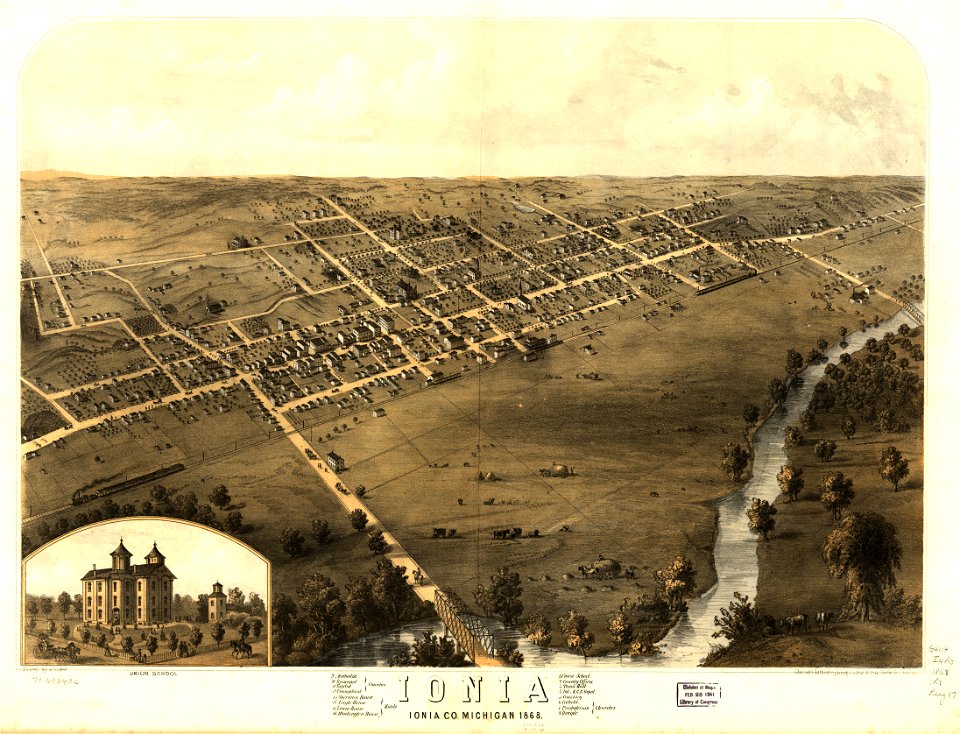
michigan
ionia
michigan
ionia
maps in the library of congress
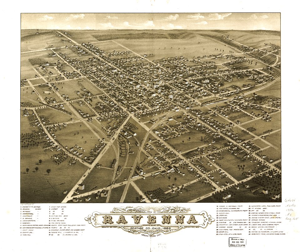
ohio
maps in the library of congress
ohio
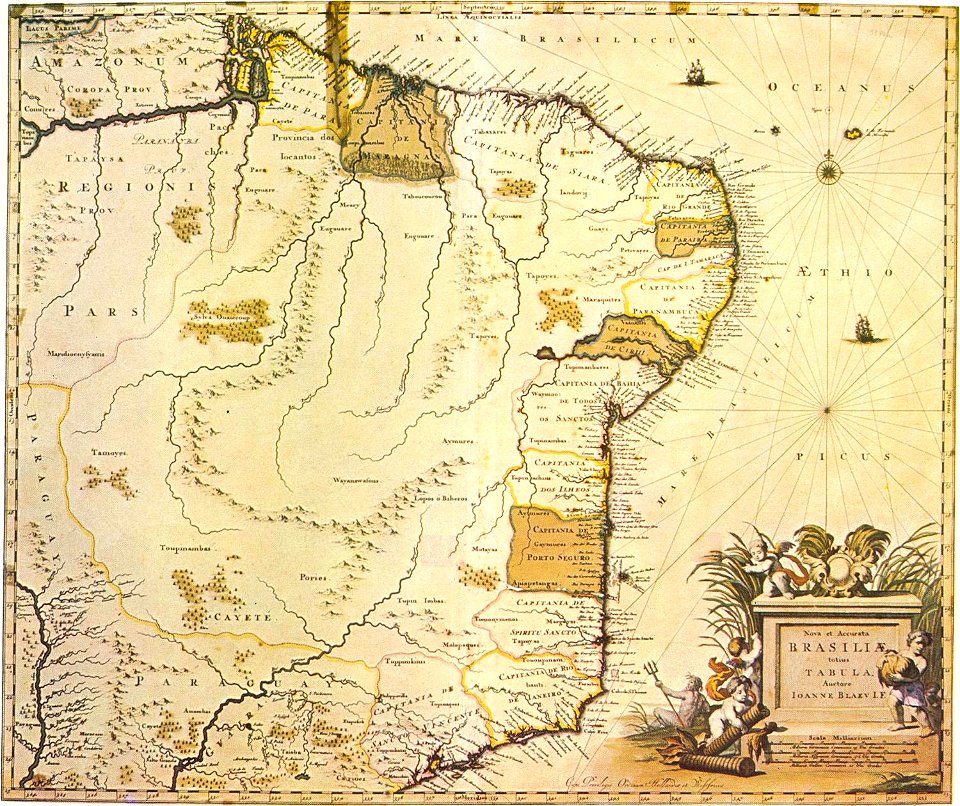
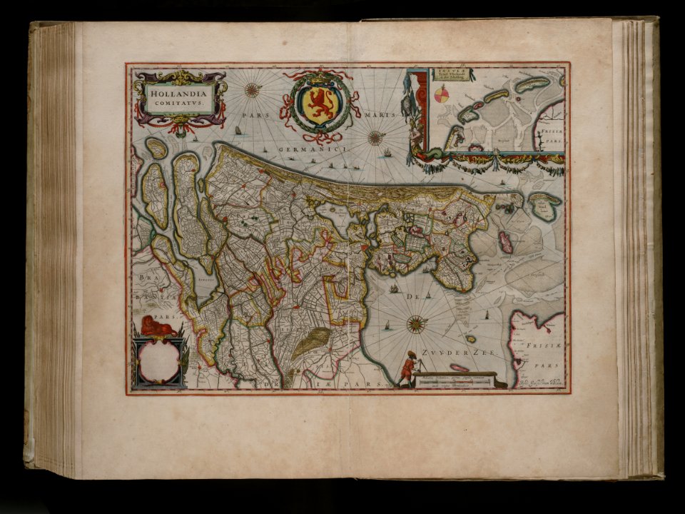
maps by willem and johannes blaeu
1640 maps
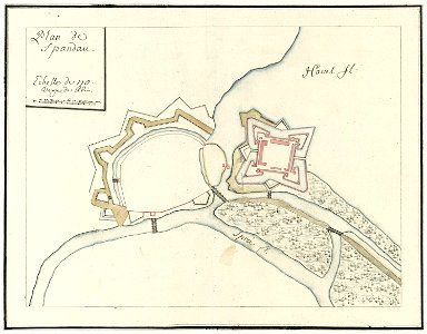
city walls of berlin-spandau
moll's map collection
world map
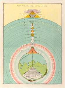
hell
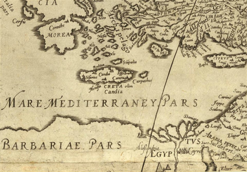
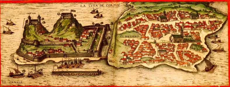
16th-century maps of the mediterranean sea
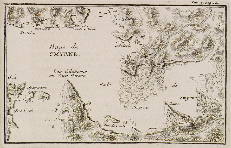
old maps of the aegean sea
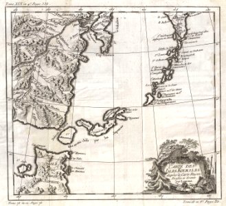
maps by jacques-nicolas bellin
1750 maps
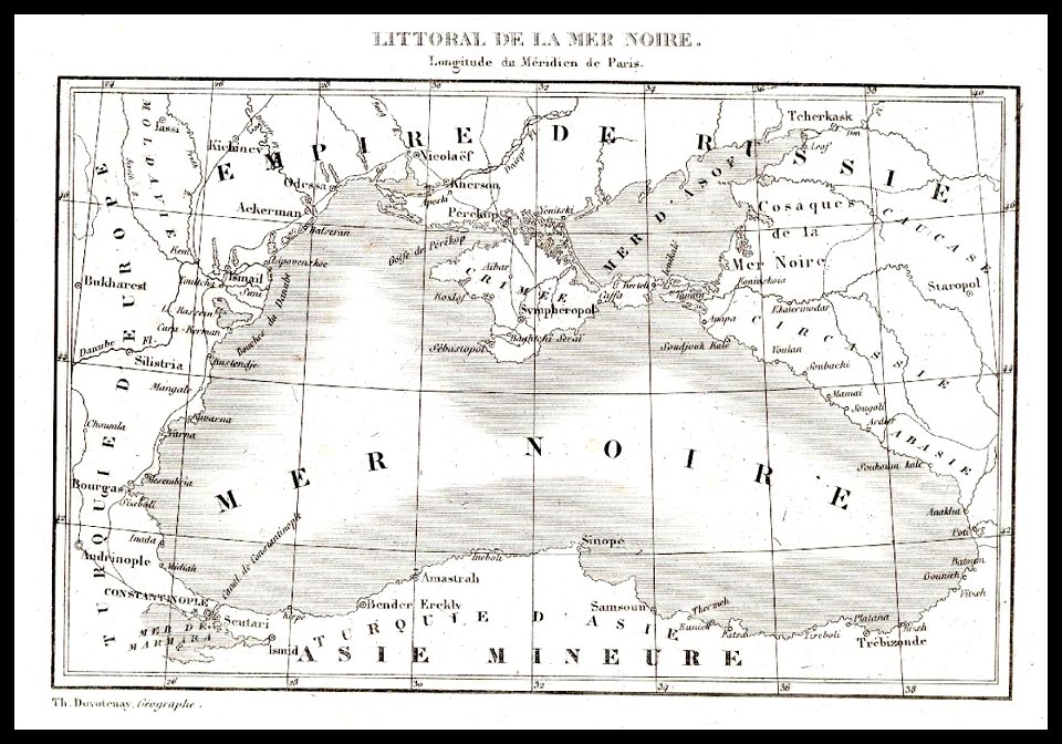
18th-century maps of the caucasus
old maps of the middle east
17th-century maps of the caucasus
old maps of the middle east
dendermonde
lillo
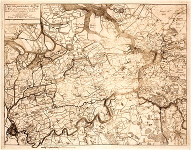
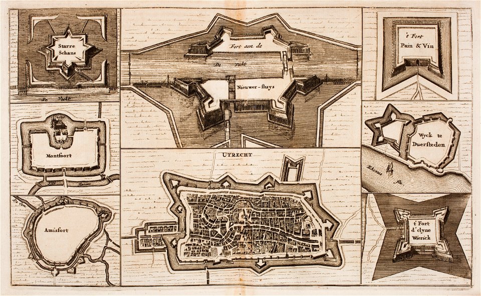
fortifications in the netherlands
wijk bij duurstede
cambridge
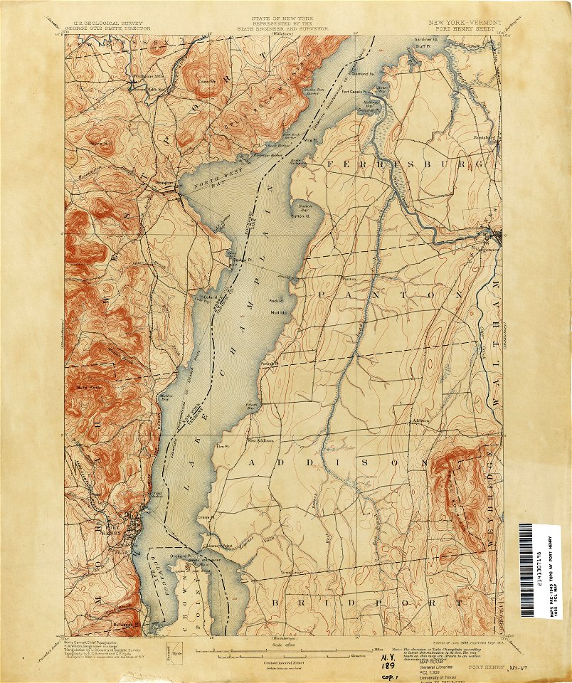
new york
pointing in art
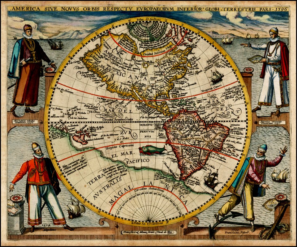
theodor de bry
maps by jacques-nicolas bellin
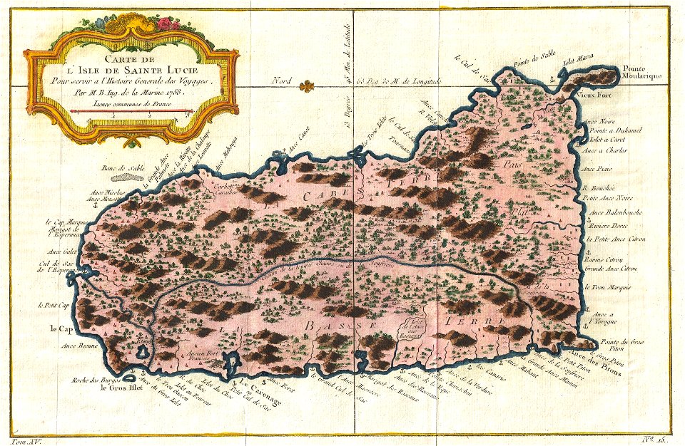
old maps of saint lucia
maps with cartouches
atlas van der hagen
loon lake
new york
old maps of new york (state)
new york
old weather and climate maps
1880 maps
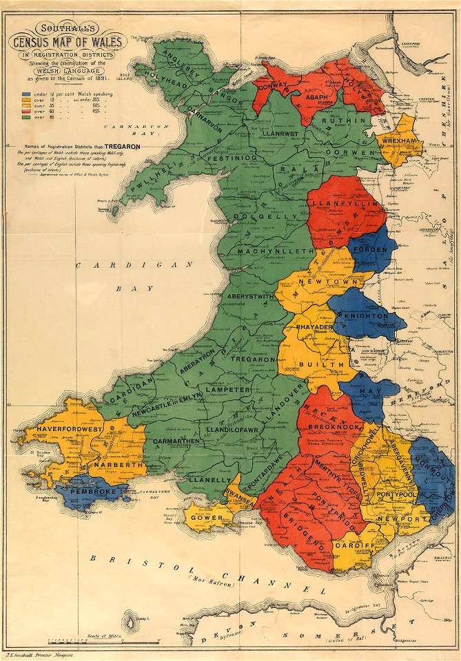
maps in the national library of wales
old maps of whole wales (alone)
new york
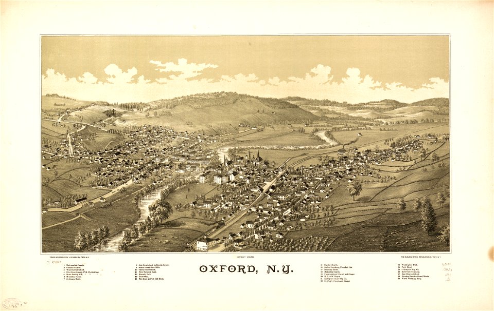
oxford
old forge
new york
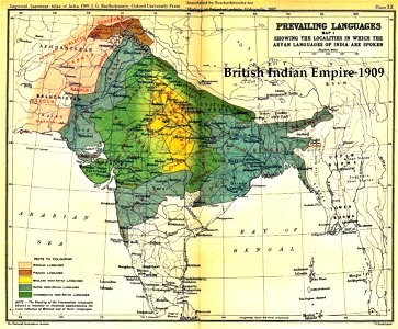
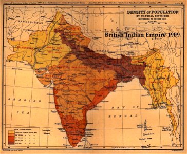
old maps of the indian subcontinent
maps of british india
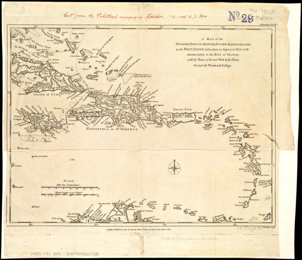
18th-century maps of hispaniola
1780s maps of the caribbean
old maps of samegrelo
french-language maps
19th-century maps of the caucasus
old maps of the middle east
joan blaeu
old map
world map
project
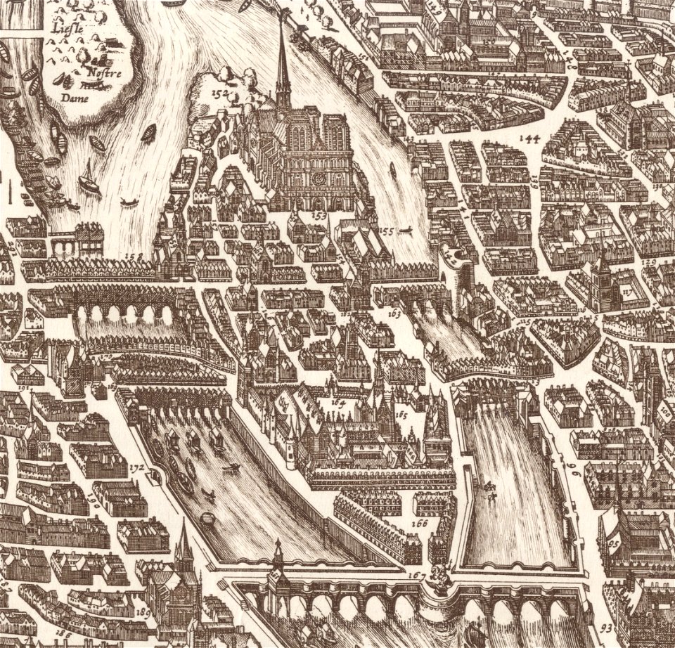
old maps of île de la cité
île de la cité in art
maps in the library of congress
ohio
maps in the library of congress
ohio
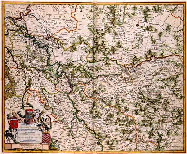
old maps of north rhine-westphalia
maps by willem and johannes blaeu
english-language maps
1776 maps
decorative map
german bible
fonds ancely - bibliothèque municipale de toulouse - maps
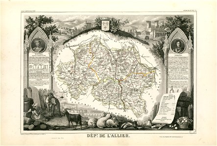
coats of arms of cities in allier
fonds ancely - bibliothèque municipale de toulouse - maps
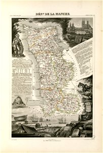
coats of arms of cities in manche
coats of arms of cities in eure
old maps of eure
fonds ancely - bibliothèque municipale de toulouse - maps
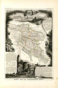
victor levasseur - maps of france
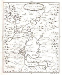
old maps of mexico
mexico
maps made in the 17th century
maps by pieter schenk (i)
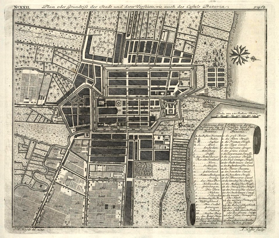
kota tua
batavia
maps by pieter schenk (i)
gerard valck
maps made in the 17th century
maps by nicolaes visscher i
maps made in the 17th century
maps by nicolaes visscher i
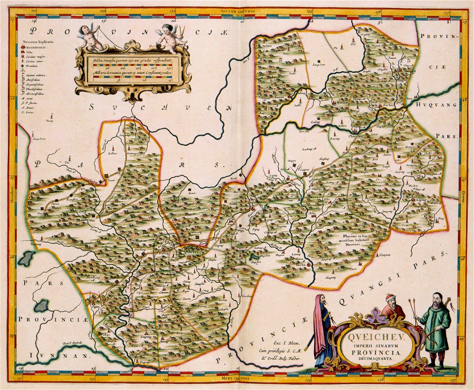
17th-century maps of china
guizhou
maps with cartouches
vercelli
maps with cartouches
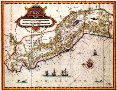
old maps of peru
johann baptist homann
latin-language maps
maps made in the 17th century
maps by nicolaes visscher i
maps by nicolaes visscher i
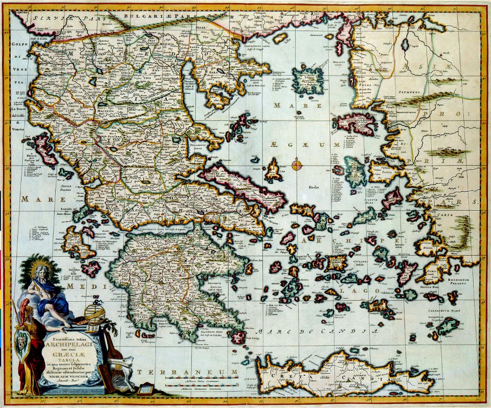
old maps of greece
maps made in the 17th century
old maps of gelderland
maps made in the 18th century
old maps of iran
maps made in the 17th century
maps by nicolaes visscher i
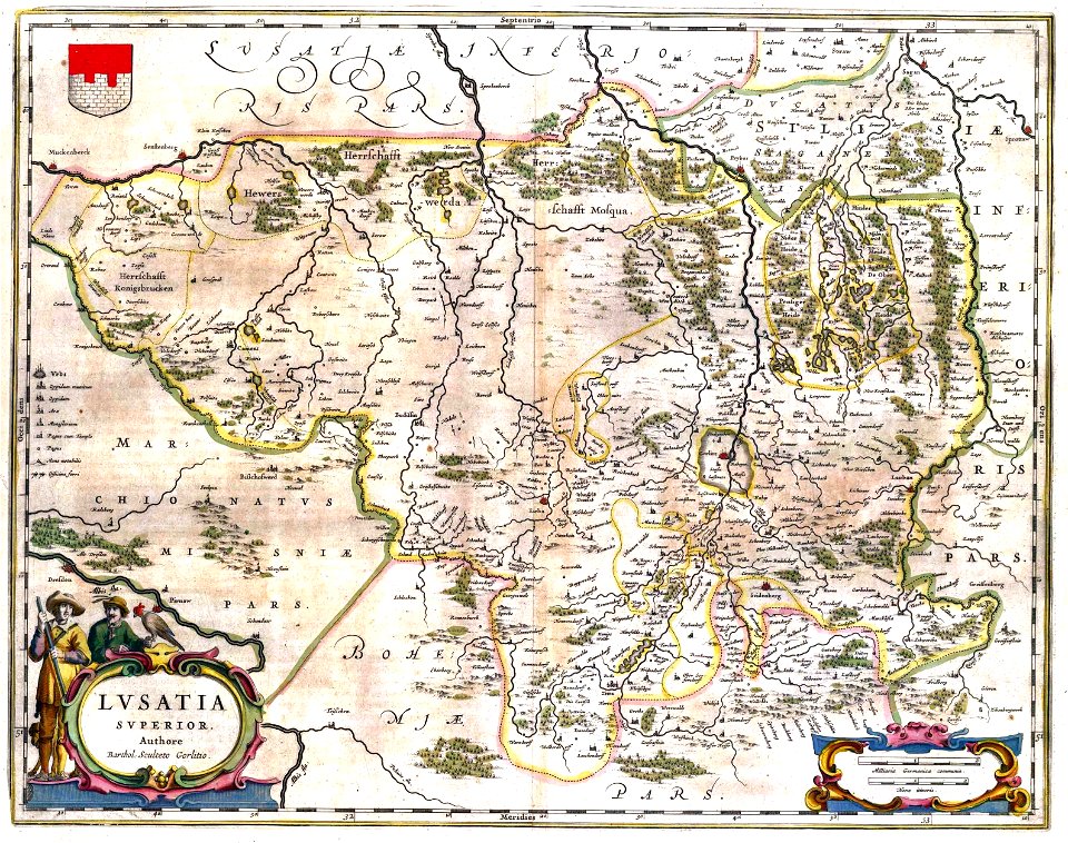
upper lusatia
kwisa
images from the new york public library
old maps of the tsardom of russia
maps made in the 17th century
maps by nicolaes visscher i
old maps of the indian subcontinent
1909 maps of india
fonds ancely - bibliothèque municipale de toulouse - maps
robert batty (artist)
maps made in the 18th century
old maps of flanders
maps made in the 18th century
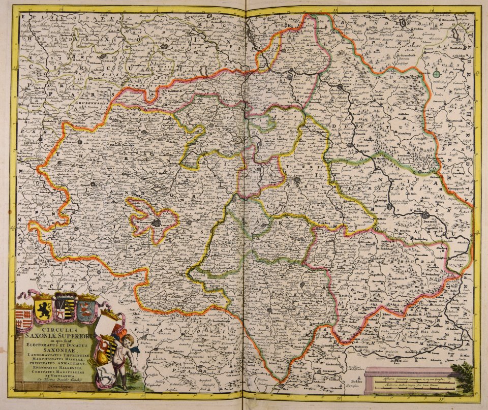
old maps of saxony
maps made in the 17th century
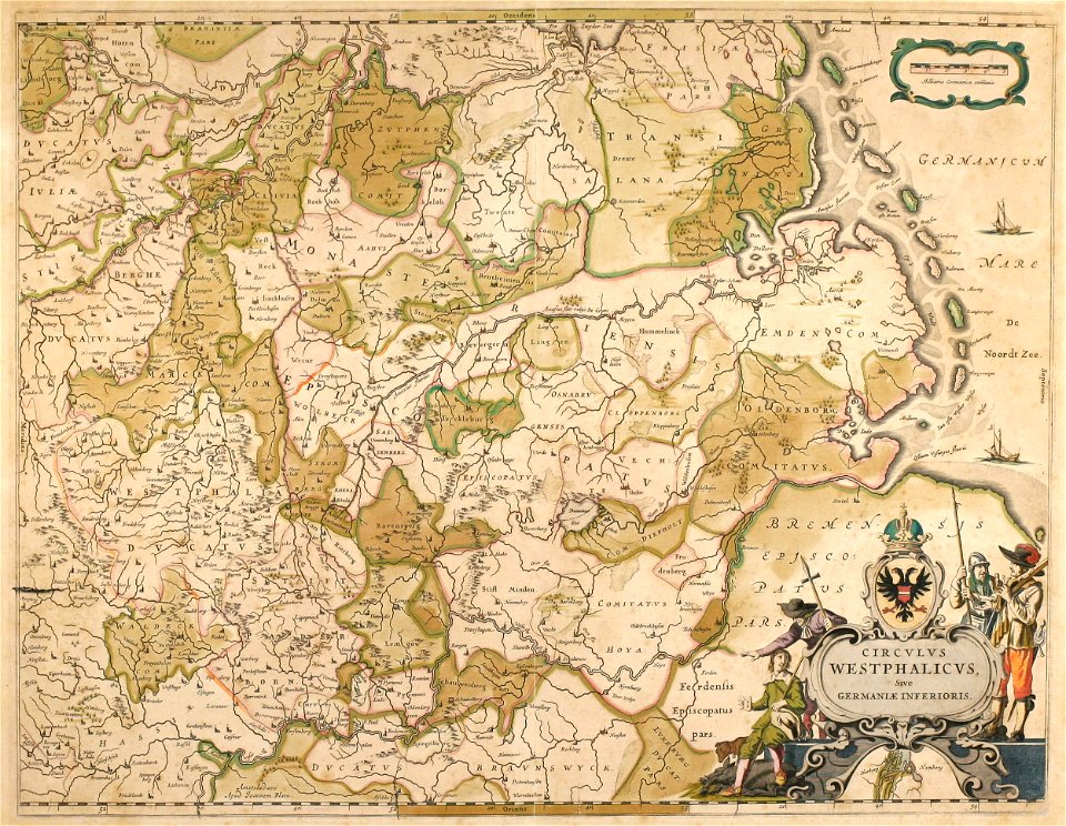
old maps of westphalia
maps made in the 17th century
maps by pieter schenk (i)
maps made in the 17th century
maps by nicolaes visscher i
maps made in the 17th century
maps by nicolaes visscher i
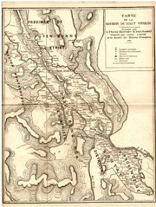
old maps of vietnam
1899
old manuscript maps
pictorial maps
bird illustrations by joseph smit
pzsl 1878
old maps of the middle east
jr
bibliothèque municipale de reims
rès. g 152
atlantis magni tomus tertius (biblioteca comunale di trento)
maps made in the 17th century
maps made in the 17th century
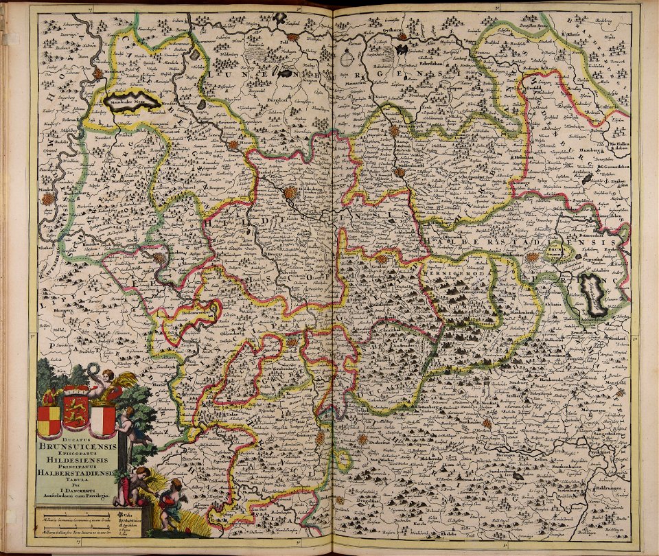
old maps of lower saxony
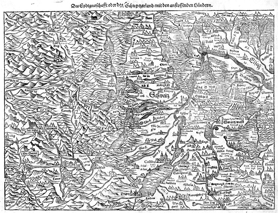
illustrations of cosmographia (münster)
old maps of switzerland
old maps of china
bodleian library
old maps of tunisia
bodleian library
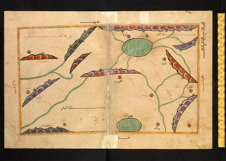
old maps of turkestan
bodleian library
old maps of turkestan
bodleian library
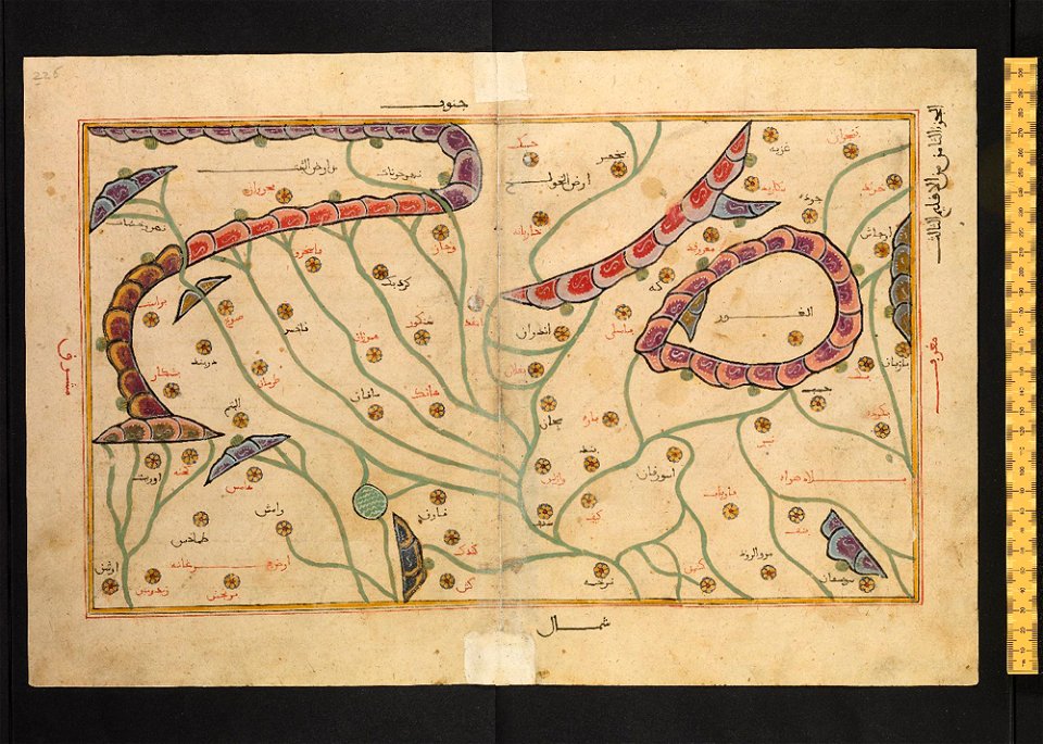
arabic-language manuscripts
bodleian library
atlantis magni tomus tertius (biblioteca comunale di trento)
maps made in the 17th century
maps of the west-indische compagnie
1745
historical images of brackenheim
1835 maps
joseph pitton de tournefort
i̇zmir in the 18th century
military bases of the united states
old maps of the history of normandy
old maps of north rhine-westphalia
maps with cartouches
maps with cartouches
atlas van der hagen
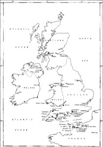
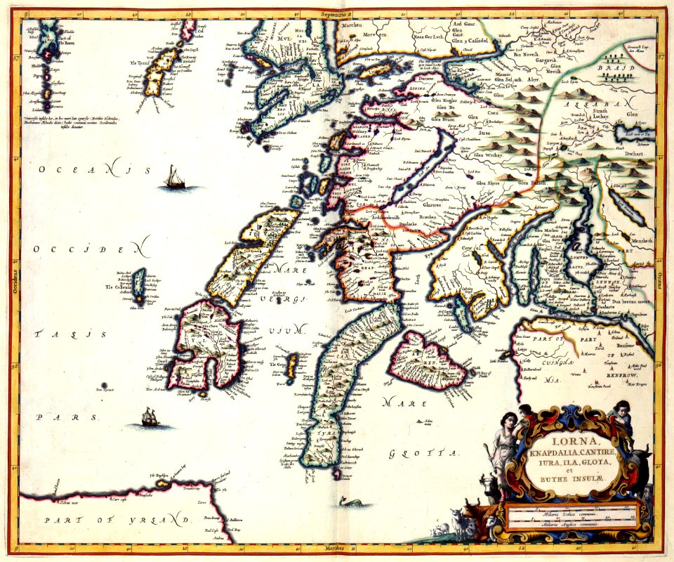
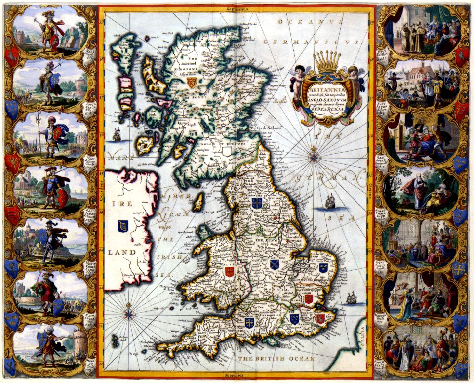
old maps of the british isles
maps with cartouches
maps with cartouches
old maps of greece
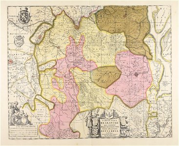
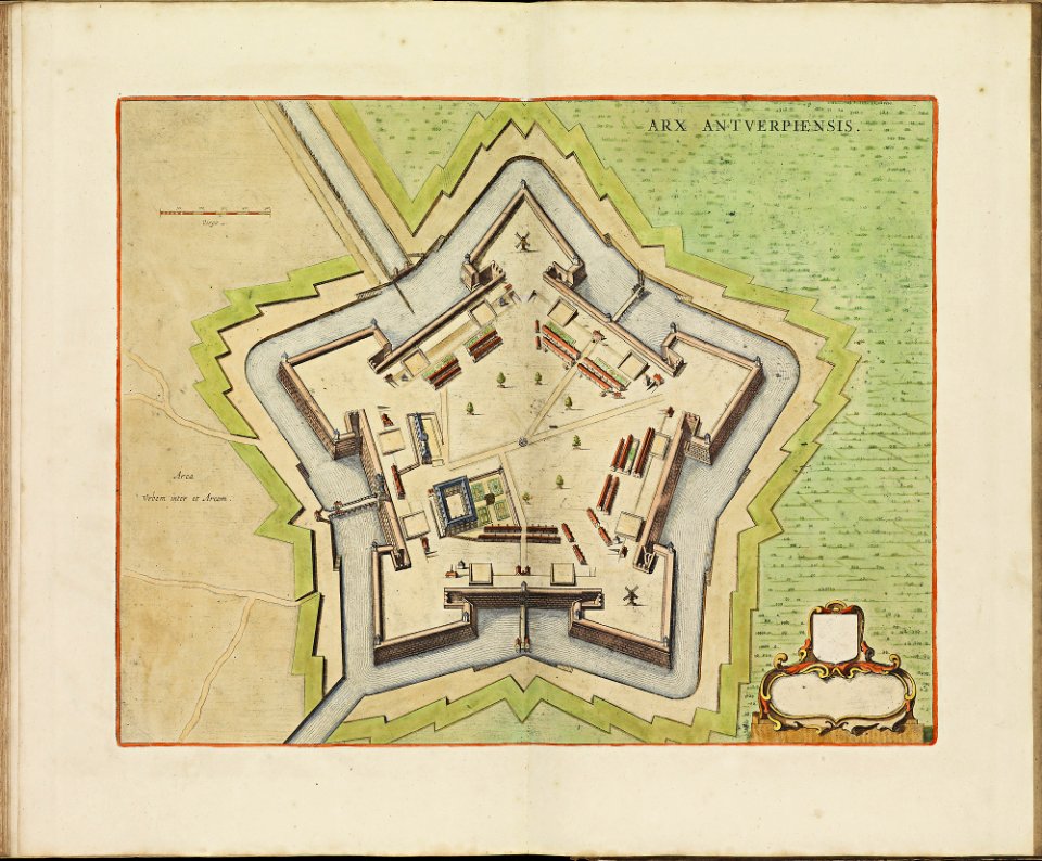
maps of antwerp city walls
frederick de wit
braun & hogenberg
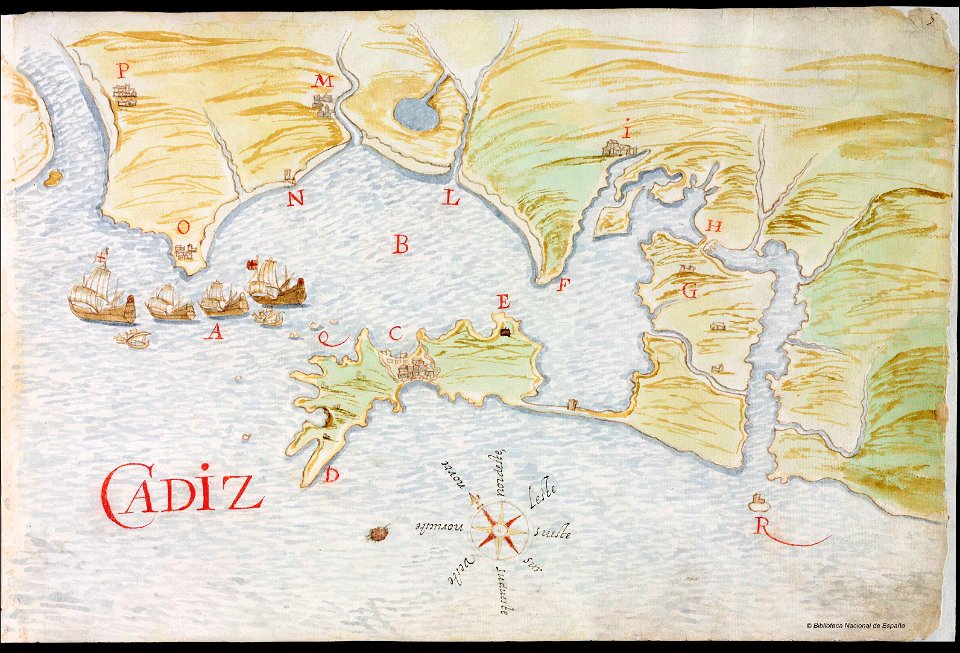
ships on maps
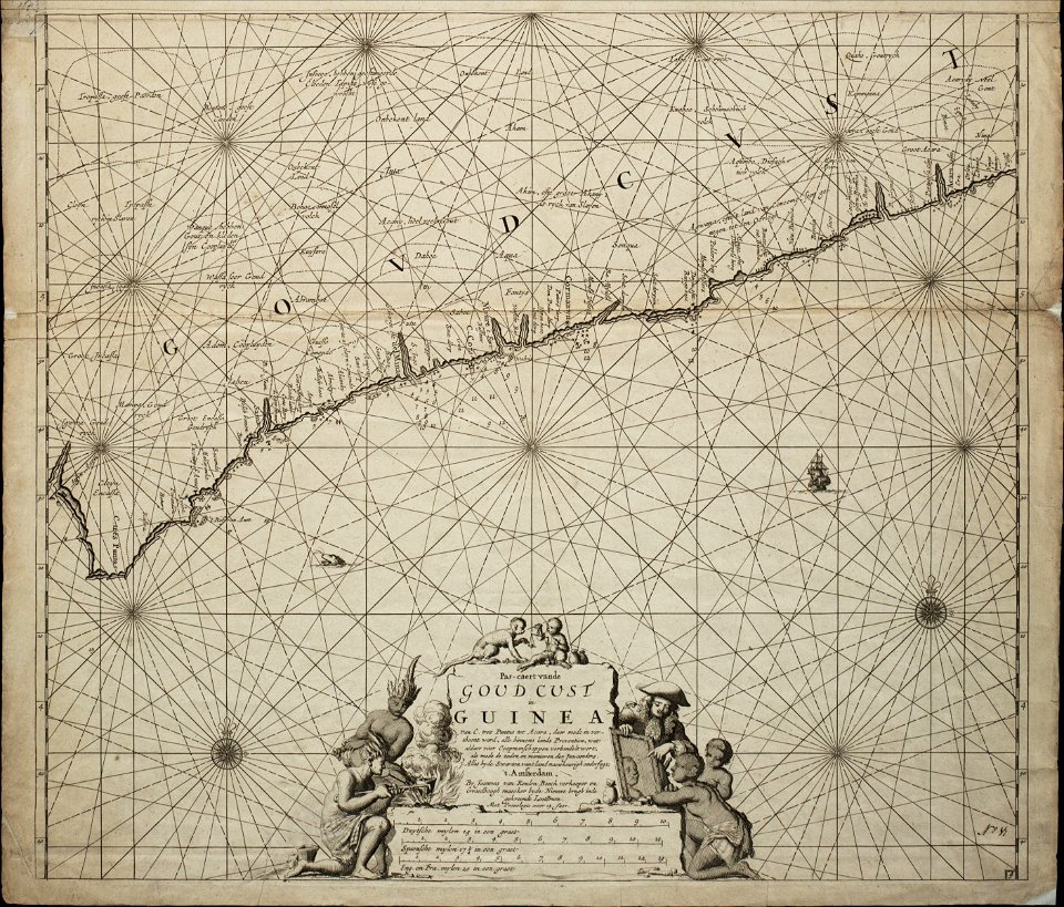
18th-century maps of africa
engravings by jan luyken
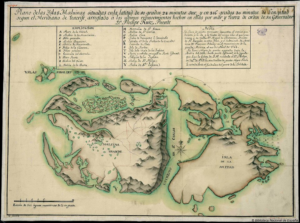
old maps of the falkland islands
history of the falkland islands
fonds ancely - bibliothèque municipale de toulouse - maps
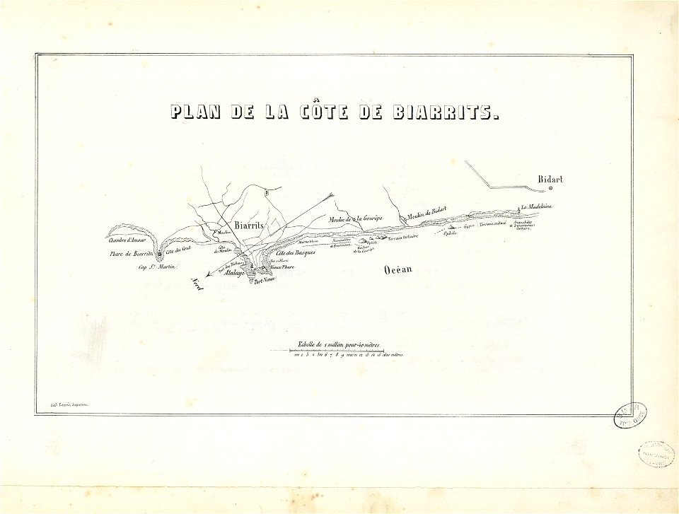
historical images of biarritz
3301 - 3400 of 52,119
Next page
/ 522